SMART NOTES FOR UPSC CSE & UPPCS (MODULE 03 OF 25)
🧭 OVERVIEW & EXAM CONTEXT
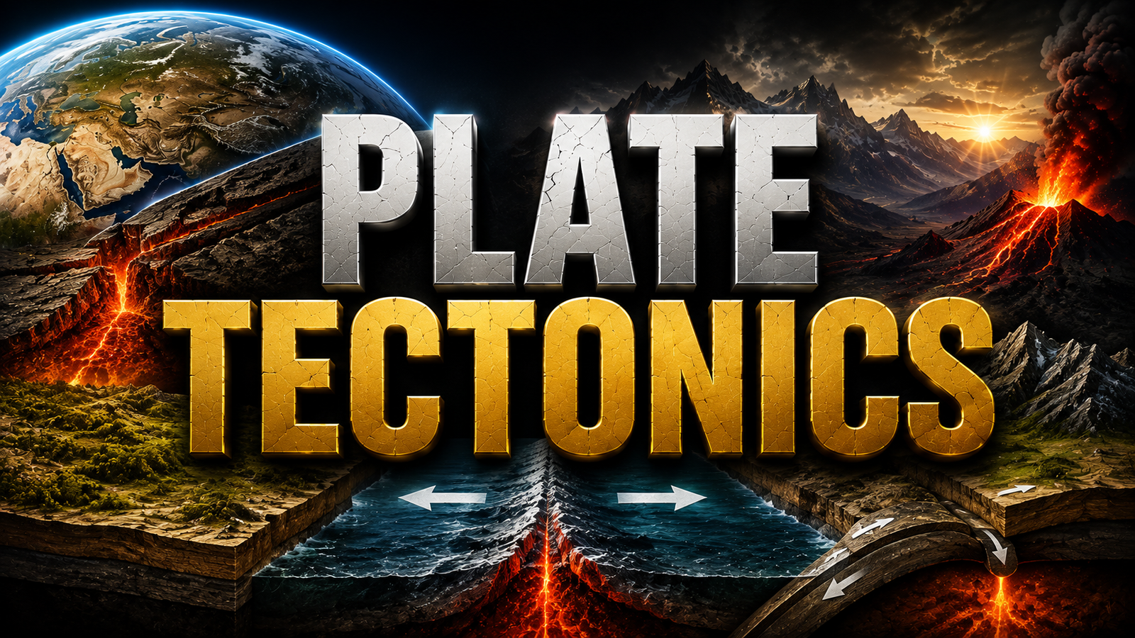
The paradigm of Plate Tectonics provides a unified theory explaining major Earth surface phenomena: mountain building, earthquake distribution, volcanic arcs, ocean basin formation, and mineral belt distribution. Modern tectonics represents a major scientific evolution—progressing from Alfred Wegener’s early Continental Drift Hypothesis (1912) to Arthur Holmes’ Convection Current Theory (1930s), Harry Hess’s Seafloor Spreading (1960s), and the formalization of Plate Tectonics Theory by McKenzie, Parker, and Morgan (1967).
🔥 Core Division of Module 03
1. Evolution of Ideas: Continental Drift hypothesis, Wegener's 5 empirical proofs, and original limitations (driving forces).
2. Seafloor Spreading & Paleomagnetism: Mid-ocean ridges, oceanic crust age gradients, and magnetic reversal striping proving crust creation.
3. Plate Tectonics Framework: Major vs. Minor Lithospheric plates, thermal convection mechanisms, and 3 plate boundary types (Divergent, Convergent, Transform).
4. Endogenic Hazards: Spatial distribution of Earthquakes (Benioff zones), Volcanism (Hotspots vs. Arc systems), and Tsunami mechanics.
1. 🗺️ Continental Drift Theory (Alfred Wegener, 1912)
1.1 Core Postulate
German meteorologist Alfred Wegener proposed that around 200 million years ago (Mesozoic Era), all continents were joined together as a single supercontinent called Pangea (meaning "All Earth"), surrounded by a global mega-ocean called Panthalassa (meaning "All Water").
Initial Rifting: Pangea split into two large continental masses:
Laurasia (Angaraland): Northern mass comprising North America, Europe, and Asia (excluding Peninsular India).
Gondwanaland: Southern mass comprising South America, Africa, Madagascar, India, Australia, and Antarctica.
Tethys Sea: A shallow equatorial sea opening between Laurasia and Gondwanaland.
1.2 Wegener’s Five Empirical Evidences
Jigsaw Fit (Matching Coastlines): Shorelines of South America and Africa facing each other show a remarkable complementary fit (especially at the 1,000-fathom depth contour evaluated by Edward Bullard in 1965).
Rocks of Same Age Across Oceans: 2,000-million-year-old ancient rock belts from Brazil match coastal rock formations in Western Africa.
Tillite Deposits: Sedimentary deposits of glacial origin (Tillite) found in India, Africa, Madagascar, Brazil, Australia, and Antarctica match ancient Carboniferous glaciation patterns.
Placer Deposits: Rich gold placer deposits occur along the coast of Ghana (West Africa) despite absolute absence of gold-bearing source veins, while rich gold veins exist across the Atlantic in Brazil.
Fossil Evidence (Paleontological Matching):
Mesosaurus: Small freshwater reptile fossils found only in Southern Brazil and South Africa.
Glossopteris Flora: Ancient fern fossils scattered continuously across India, South Africa, Australia, Antarctica, and South America.
Lystrosaurus: Land reptile fossils found in Africa, India, and Antarctica.
1.3 Flaws in Wegener’s Theory
Wegener attributed continental movement to Pole-fleeing force (centrifugal force due to Earth rotation) and Tidal forces (gravitational pull of Moon and Sun). Physicists proved these forces were millions of times too weak to drag rigid continents through dense oceanic crust (SIAL floating over SIMA).
2. ♨️ Convection Current Theory (Arthur Holmes, 1930s)
Arthur Holmes provided the missing physical mechanism for continental motion. He proposed that radiogenic heat (decay of radioactive elements like Uranium, Thorium, Potassium) in the Earth's mantle generates powerful thermal convection currents:
Rising Thermal Plumes: Hot, buoyant mantle material rises beneath continental or oceanic crust, causing the crust to stretch, rift, and split apart (Divergent zones).
Descending Mantle Currents: Cooler, denser mantle material sinks back down, dragging overlying crust into deep trenches (Convergent zones).
3. 🌊 Seafloor Spreading & Paleomagnetism
3.1 Harry Hess’s Seafloor Spreading Hypothesis (1960)
Analyzing post-WWII bathymetric mapping of the ocean floor, Harry Hess proposed that ocean floors are continuously being created at mid-ocean ridges and consumed at ocean trenches.
Key Observations Supporting Seafloor Spreading:
Mid-Oceanic Ridges (MOR): Extensive underwater mountain chains experiencing continuous volcanic eruptions along central rift valleys.
Youthful Oceanic Crust: Rocks on ocean floors are nowhere older than 200 million years, whereas continental rocks reach up to 3,800 million years old.
Symmetrical Age Profile: Rocks equidistant from the ridge axis on either side show identical age, chemical composition, and physical density. Age increases away from the ridge.
Sediment Thickness Gradient: Ocean floor sediment layer is extremely thin at mid-ocean ridges and progressively thickens toward ocean margins/trenches.
3.2 Paleomagnetism & Magnetic Reversals (Vine-Matthews-Morley Hypothesis)
As basaltic magma cools at mid-ocean ridges, iron-rich minerals (magnetite) align themselves with Earth’s existing magnetic field direction, freezing a permanent magnetic record once cooled below the Curie Point (~580°C).
🧲 Magnetic Striping Proof
Geophysicists discovered symmetrical zebra-like stripes of normal magnetic polarity (matching present magnetic field) and reversed magnetic polarity running parallel to mid-ocean ridge axes.
This proves that new oceanic crust is continuously formed by cooling basalt, then pushed outward symmetrically as Earth's magnetic field periodically flips over geological time scales.
4. 🛡️ Plate Tectonics Theory & Plate Categories
Formulated in 1967 by W.J. Morgan, Dan McKenzie, and Robert Parker. A tectonic plate (lithospheric plate) is a massive, irregularly shaped slab of solid rock composed of Earth's rigid lithosphere (Crust + Upper Mantle, ~50 to 200 km thick) floating over the ductile asthenosphere.
4.1 Major Lithospheric Plates (7 Primary Plates)
Antarctic Plate: Surrounds Antarctica and adjacent oceanic crust.
North American Plate: Includes North America, western Atlantic seafloor, and Greenland.
South American Plate: South America and western Atlantic seafloor.
Pacific Plate: Largest plate (~103 million km²); almost entirely oceanic crust.
Indo-Australian-Capricon Plate: Includes India, Australia, and surrounding Indian Ocean floor.
Eurasian Plate: Includes eastern Atlantic floor and most of Eurasia (excluding India/Arabia).
African Plate: Africa and surrounding Atlantic/Indian ocean crust.
4.2 Key Minor Plates (High-Yield for Prelims)
Minor Plate Name
Geographic Location / Boundaries
Cocos Plate
Between Central America and Pacific Plate.
Nazca Plate
Between South America and Pacific Plate (subducts under Andes).
Caribbean Plate
Between Central America and South America.
Arabian Plate
Saudi Arabian landmass (forming Red Sea rift).
Philippine Plate
Between Asiatic Plate and Pacific Ocean.
Caroline Plate
Between Philippine Plate and New Guinea (North of Pacific).
Fuji / Fiji Plate
North-east of Australia.
Juan de Fuca Plate
Off the coast of Pacific Northwest USA/Canada.
5. ⚔️ Types of Plate Boundaries & Interactions
5.1 Divergent Boundaries (Constructive Margins)
Plates pull apart from each other. Magma wells up from asthenosphere, creating new oceanic crust.
Oceanic Divergence: Forms Mid-Ocean Ridges (e.g., Mid-Atlantic Ridge, East Pacific Rise).
Continental Divergence: Rifts continents, creating rift valleys that eventually widen into ocean basins. Examples: East African Rift Valley, Red Sea.
5.2 Convergent Boundaries (Destructive Margins)
Plates move toward each other and collide. The denser plate subducts into the asthenosphere along a subduction trench, where it melts.
High Fold Mountain ranges, elevated plateaus. No active volcanism!
Himalayas (Indo-Australian plate colliding with Eurasian plate), Alps.
5.3 Transform Boundaries (Conservative Margins)
Plates slide past each other horizontally along transform faults. Crust is neither created nor destroyed. Characterized by severe shallow-focus earthquakes without volcanic activity.
Classic Example:San Andreas Fault System in California (Pacific Plate sliding northwest past North American Plate).
6. 🌋 Earthquakes, Benioff Zones & Volcanic Distribution
6.1 Seismicity & Wadati-Benioff Zones
Earthquakes occur primarily along plate margins. At subduction zones, earthquake foci lie along a dipping planar zone extending from shallow near trenches down to ~700 km depth—known as the Wadati-Benioff Zone.
Shallow-Focus Earthquakes (<70 km): Occur along all plate boundaries (Divergent, Convergent, Transform).
Deep-Focus Earthquakes (300 km to 700 km): Occur only at Convergent Subduction boundaries.
6.2 Volcanic Global Distribution
Pacific Ring of Fire (Circum-Pacific Belt): Hosts ~75% of Earth's active volcanoes and ~90% of global earthquakes. Driven by subduction of Pacific, Nazca, Cocos, and Philippine plates under surrounding continental masses.
Intraplate Hotspot Volcanism: Stationary mantle plumes punching through overriding plates to create volcanic chains. Examples: Hawaiian Island Chain, Reunion Hotspot (Deccan Traps), Yellowstone caldera.
7. 🌊 Tsunami Generation & Propagation Mechanics
A Tsunami (Japanese for "harbor wave") is a series of ocean waves with extremely long wavelengths generated by sudden vertical displacement of the seafloor.
7.1 Triggering Mechanisms
Undersea Megathrust Earthquakes at convergent subduction zones (Magnitude >7.5).
Submarine landslides or caldera collapse of volcanic island edifices (e.g., Krakatoa eruption 1883).
7.2 Wave Propagation Characteristics
Parameter
Deep Open Ocean
Shallow Coastal Water (Shoaling Effect)
Wave Velocity
Extremely High (~500 to 800 km/h, matches jet aircraft).
Slows dramatically (~30 to 50 km/h) due to bottom friction.
Wave Height (Amplitude)
Very low (<1 meter, almost unnoticeable to ships).
Glossopteris & Mesosaurus Fossils: Used by Wegener to prove Gondwanaland continuity.
Oldest Oceanic Crust Age: Ocean floor rocks are nowhere older than 200 million years due to continuous subduction recycling.
Deepest Ocean Trench:Mariana Trench (Challenger Deep, ~10,994m) formed by Pacific Plate subducting under Philippine Plate.
Plates without Volcanism: Continental-Continental convergence (e.g., Himalayas) and Transform Faults (e.g., San Andreas) produce severe earthquakes but NO volcanoes.
Pacific Plate Nature: The largest plate, composed entirely of oceanic crust.
Indian Plate Motion Speed: Moves North/Northeast at ~5 cm/year into the Eurasian Plate.
9. ✍️ UPSC Mains Analytical Anchor Points
💡 Analytical Templates for GS Paper 1 Answers
Evolutionary Synthesis of Geodynamic Theories: Trace the paradigm shift from Wegener’s empirical intuition (Drift) to Holmes’ thermal driving force (Convection), Hess’s ocean floor evidence (Spreading), and final kinematic integration (Plate Tectonics).
Absence of Volcanism in Himalayan Orogeny: Explain why C-C collision thickens continental crust (~70 km) preventing buoyant mantle magma from penetrating, resulting in intense folding/earthquakes without active volcanoes.
Tsunami Early Warning Architecture: Highlight Indian Ocean Tsunami Warning System (INCOIS, Hyderabad) utilizing Deep Ocean Assessment and Reporting of Tsunamis (DART) buoy networks post-2004 Sumatra tsunami.
10. ❓ FREQUENTLY ASKED QUESTIONS (FAQ)
What are the primary differences between Convergent and Divergent boundaries?
Divergent boundaries move apart, creating new crust (e.g., Mid-Atlantic Ridge). Convergent boundaries collide, destroying crust through subduction or building mountains (e.g., Himalayas).
What is Paleomagnetism and how does it support Seafloor Spreading?
Paleomagnetism studies ancient magnetic fields preserved in oceanic basalt. Symmetrical stripes of normal and reversed magnetic polarity parallel to mid-ocean ridges prove seafloor spreading.
How are Tsunamis generated by earthquakes?
Tsunamis are triggered by high-magnitude underwater megathrust earthquakes at subduction zones that cause massive vertical displacement of the seafloor, shifting the overlying water column.
11. 🔗 Next Geography Modules in Series
Continue your systematically ordered Physical Geography syllabus coverage: